
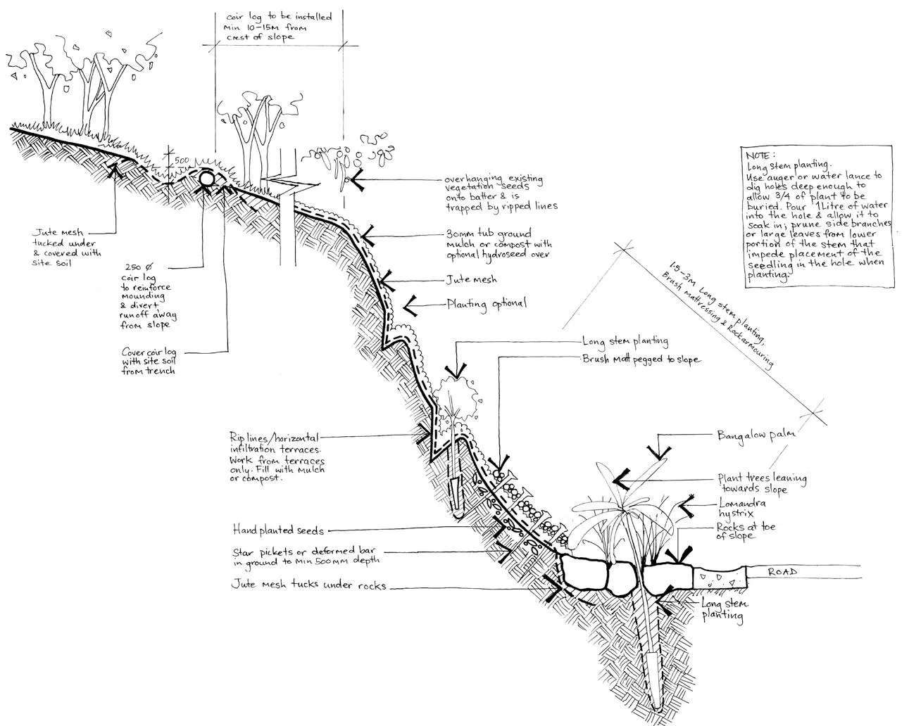
A sketch illustrating a suite of “soft engineering” measures to assist slope stabilisation via vegetative means.
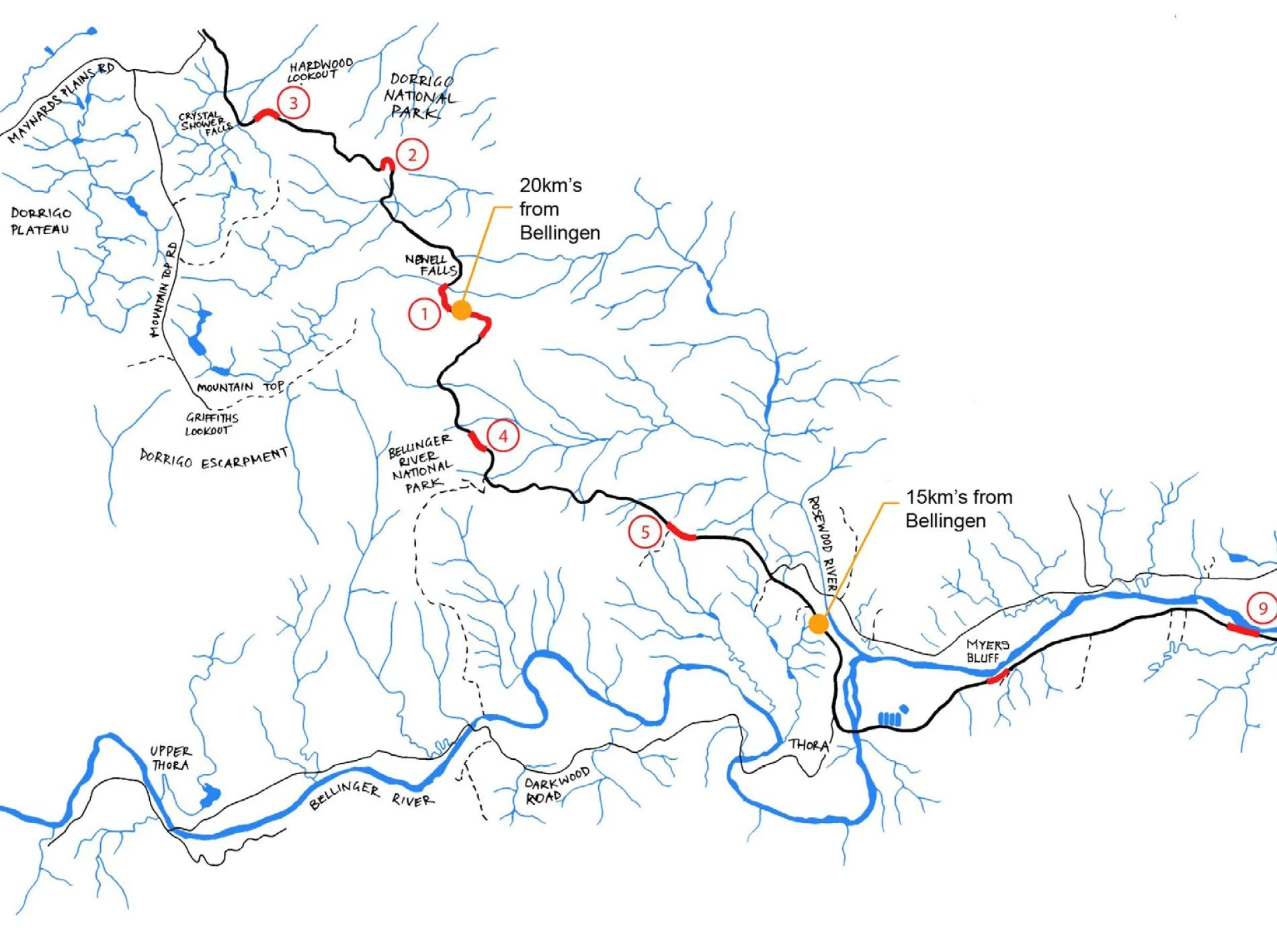
Hand-drawn map of the study area illustrating the complex drainage network affecting the road corridor.
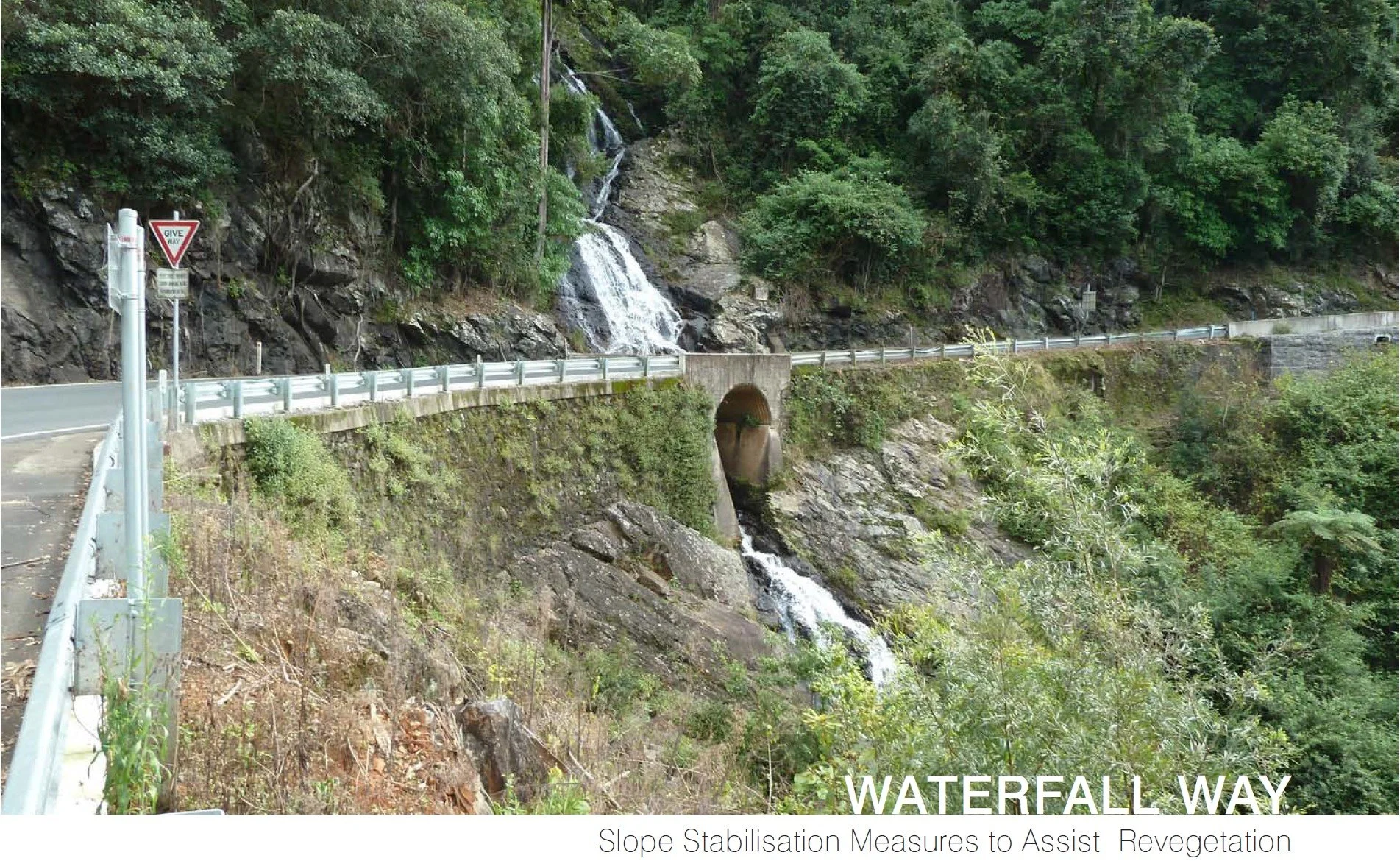
Waterfall Way: Slope Stabilisation Measures to Assist Revegetation
constructed ecologies
Waterfall Way connects the Pacific Highway at Urunga with Armidale and for part of its length west of Bellingen hugs the Bellinger River before climbing 750 metres from Thora to the Dorrigo Plateau. In the section of the road between Mahers Road, Boggy Creek (approx 4.0km west of Bellingen) and Mountain Top Rest Area, Dorrigo Mountain, slope failures on the roadside are common due to the steepness of the terrain, the proximity to the river and the high rainfall of the region.
These slope failures cause considerable physical damage to the road necessitating expensive engineering works. These are difficult and costly to install given the lack of space in the corridor and extreme steepness beyond the shoulder of the road. Slope failures are also aesthetically displeasing in the context of Waterfall Way because the route, which passes through the World Heritage listed Dorrigo National Park, is incredibly scenic and boasts escarpment, waterfall and river views.
Darren, while Director at HBO+EMTB Urban and Landscape Design was commissioned by the RMS to prepare a suite of “soft engineering” slope stabilisation procedures, along with a palette of suitable plant species to commence revegetation process on failed slopes.